Category: Maps
-
trippler multi-destination
It’s time for my EV trip planning app trippler to cater to multiple destinations, beyond the beaten track of simple A-to-B trips. This is another feature I decided I needed when planning and driving The Cross to The Cape. Multiple changes I’ve wanted multiple destinations for some time, but recent refactoring of the UI and…
-
trippler contingencies
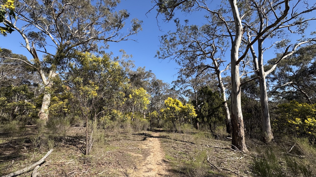
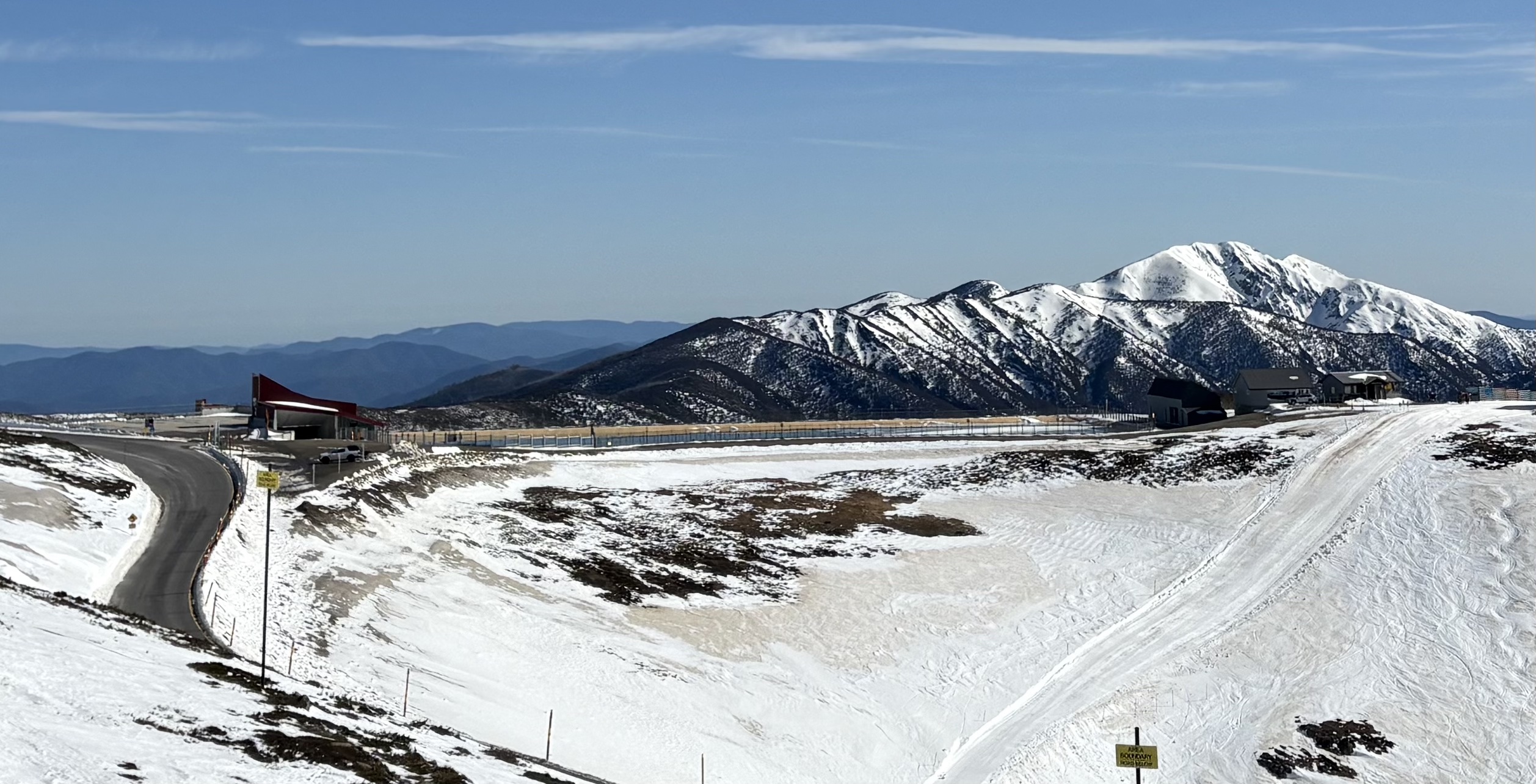
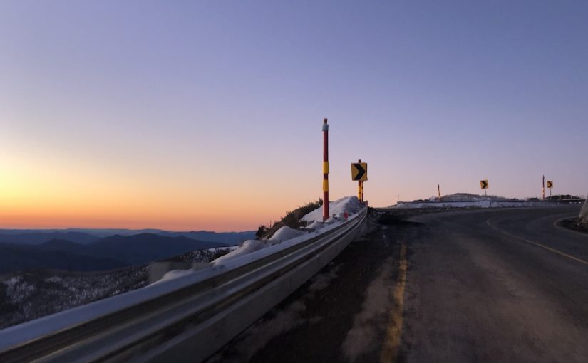
Planning a dawn-to-dusk adventure from snow to surf in an electric vehicle meant not just planning for resilience, to allow for changes to the plan, but also planning for contingencies, to know in advance exactly how to respond to changes. Carnival of carving We lay our scene on the descent from Mount Hotham to Cape…
-
Orienteering map training turns 20
A little over 20 years ago, I was introducing my wife and some friends to orienteering in Jindabyne. With my family involved in the Scottish 6 Days since its 1977 inception, I had been orienteering since before I could walk, and reading orienteering maps was second nature to me. Not second nature to the rest…
-

trippler for Aotearoa New Zealand
Planning to present my PyCon AU talk to an internal audience at MYOB, I realised the title An EV trip planner for Australia, while entirely appropriate for an Australian conference on Python, wasn’t as inclusive as it could be for the members of a technology organisation encompassing Australia and Aotearoa New Zealand. So trippler now…
-

Charger hopping
While it’s nice to make good time, when in remote areas, sometimes any route will do. For EV road trip planning in trippler, I first found the direct route, then chose chargers along the route. This approach can fail when there aren’t enough chargers close to the route, as in remote areas. Charger hopping is…
-

Stop thinking
EV road trips have a different cadence. You might need to charge an EV up to twice as frequently as you’d refuel an ICE vehicle (depending on the pair compared). However, given people need to stop too, this doesn’t necessarily mean trips take longer, and the different pattern of stops may even make the trip…
-

A resilient charging planner
Check out the prototype of trippler, an interactive charging planner for resilient EV road trips. Based on my own EV road trip experience, trippler is as much about easily understanding charging options and contingencies, to reduce charger anxiety, as it is about coming up with a single best plan. If you’re looking for the latest…
-

Data complications
Solving EV charger anxiety used maths for better road trips, but skipped over using real data. Let’s fix that, or at least try to… The easy bits To get from A to B in an EV, I used Open Route Service to find a base route to a destination and and Open Charge Map to…
-
I did it my way – hand-rolled navigation with open spatial data
Sure commercial maps app directions are great, but have you ever found the customisation options limited? What if you want to use bike paths and back streets when cycling, or avoid winding roads that might make backseat passengers car-sick on a road trip? The paved route OpenStreetMap and OpenRouteService do provide this type of functionality,…
-

Jetty to Jetty app
I released an app 🙂 – for iOS and Android. It’s a self-guided audio tour of historic sites in Broome, Western Australia, including beautiful stories told by locals. Nyamba Buru Yawuru developed the concept, curated the media, engaged local stakeholders, and were product owners for the app. This work was exciting for its value to the…